East kalimantan is a very beautiful island largely yet to be explored. 
Batu buti(Sangatta)
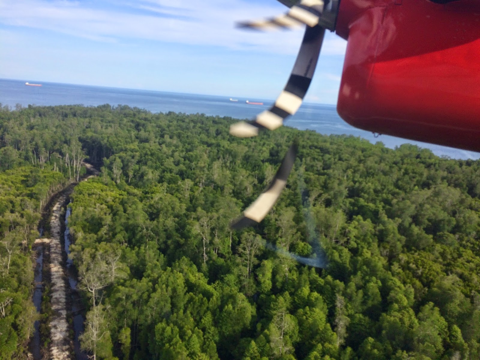
The pathway into the sea at sangatta
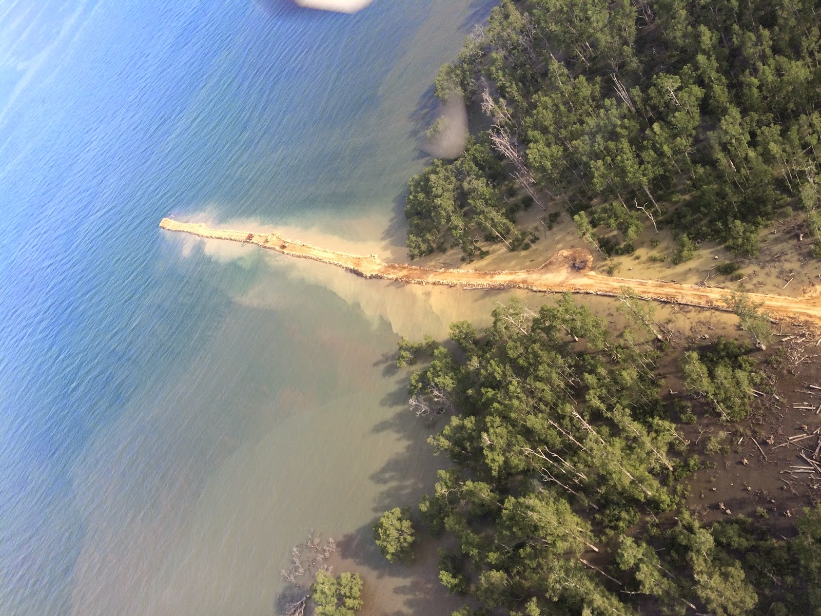
The path you see is actually a very wide road for carrying containers for loading ships. You can see some huge vehicles in the pathway appearing small. And then i could see the place where i live from sky-The Sangatta town, The ship loading station at Sangatta, The beautiful landscapes, Small rivers, and some unmanned islands- people are yet to inhabit these places.

The Sangatta town
Bontang is the nearby place 60 kilometres away from sangatta. Bontang is in google maps but not sangatta.
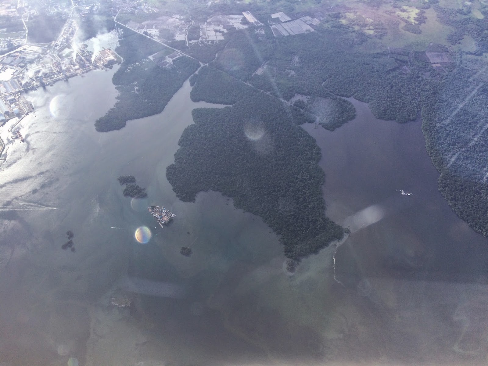
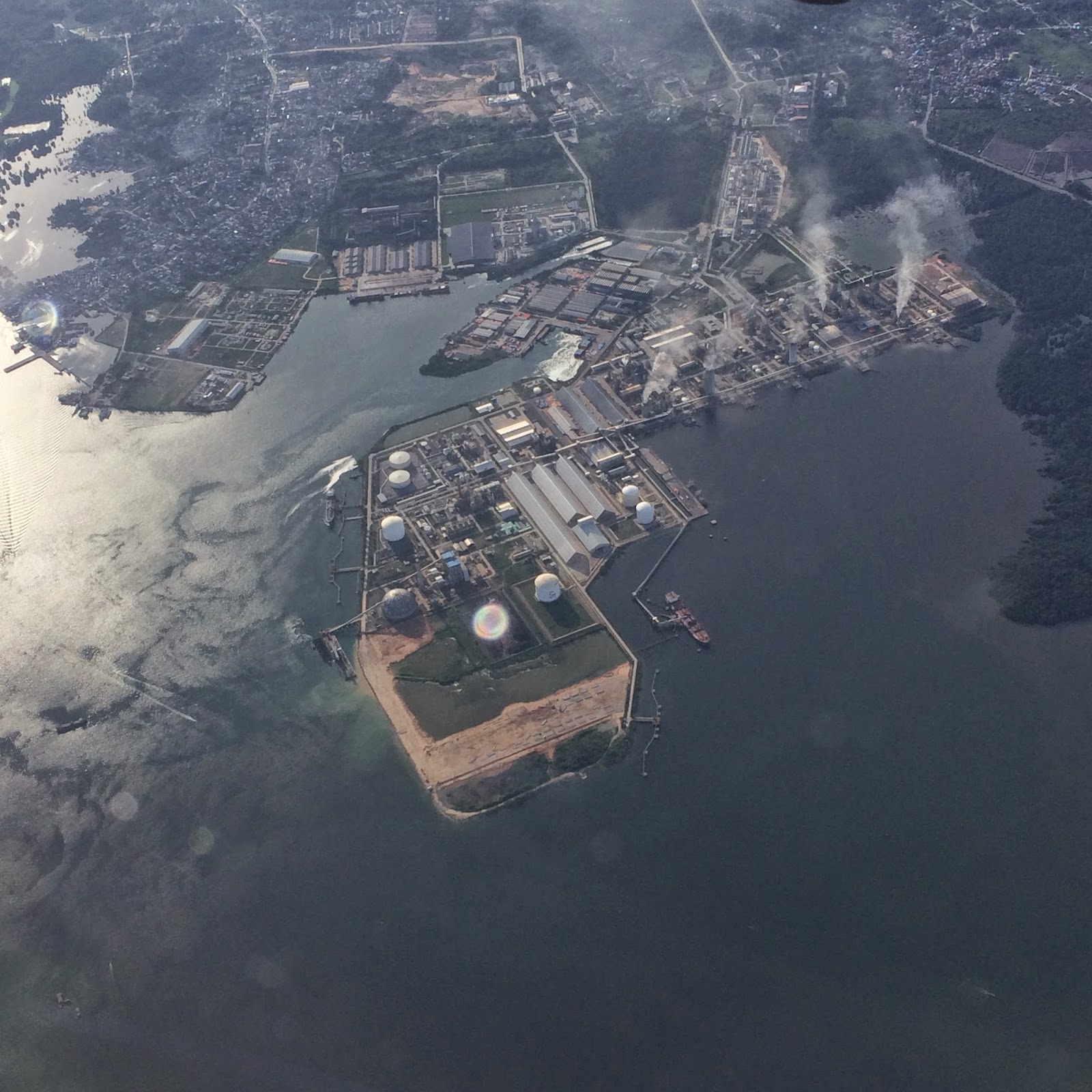
The bontang City and its gas plant
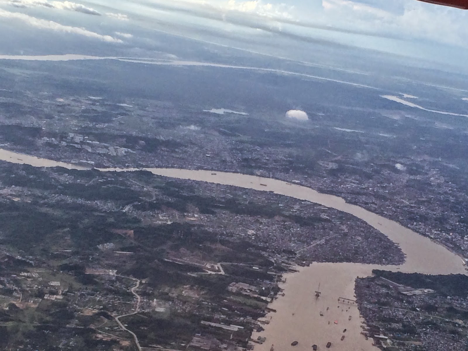
The beautiful Samarinda city
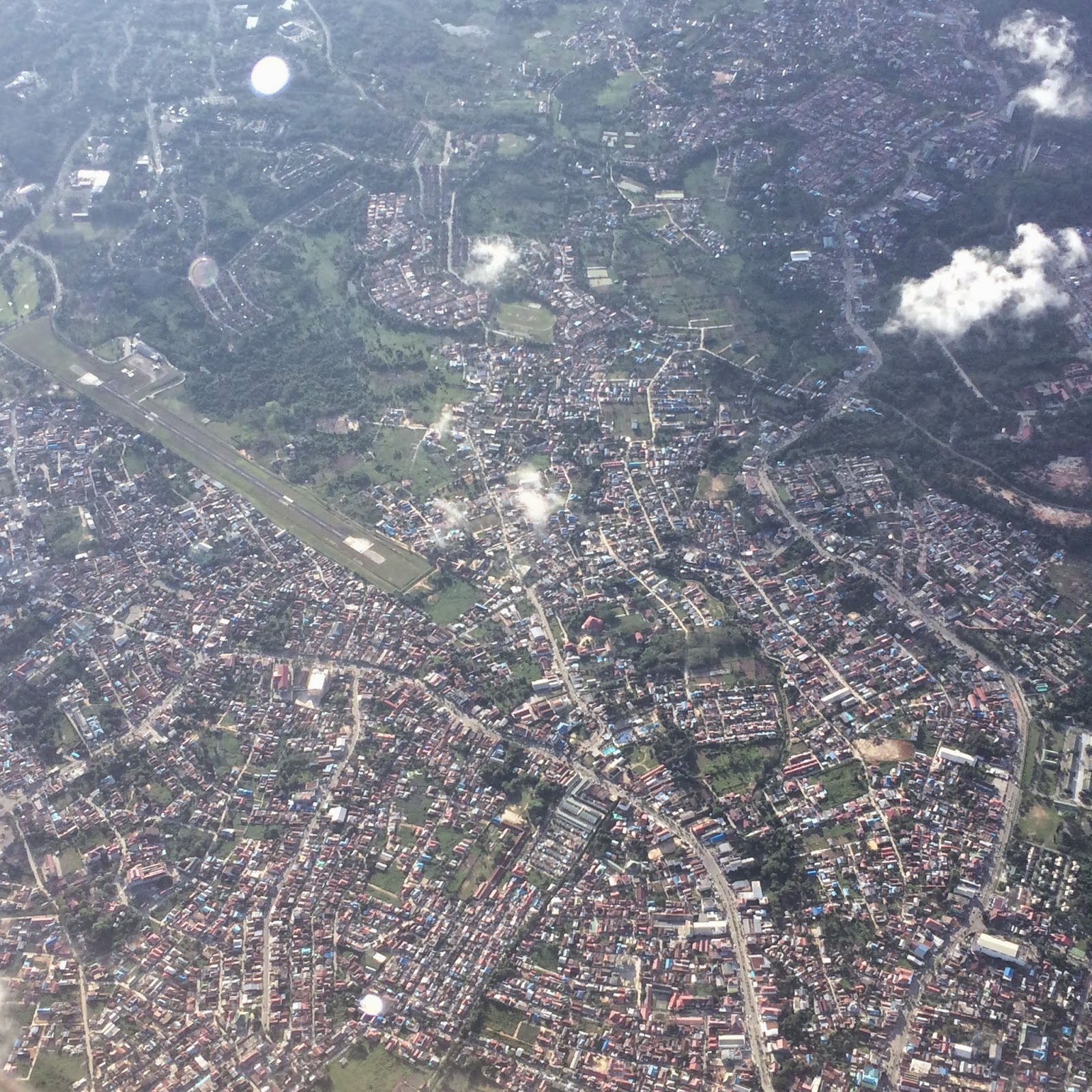
Aerial view of samarinda city
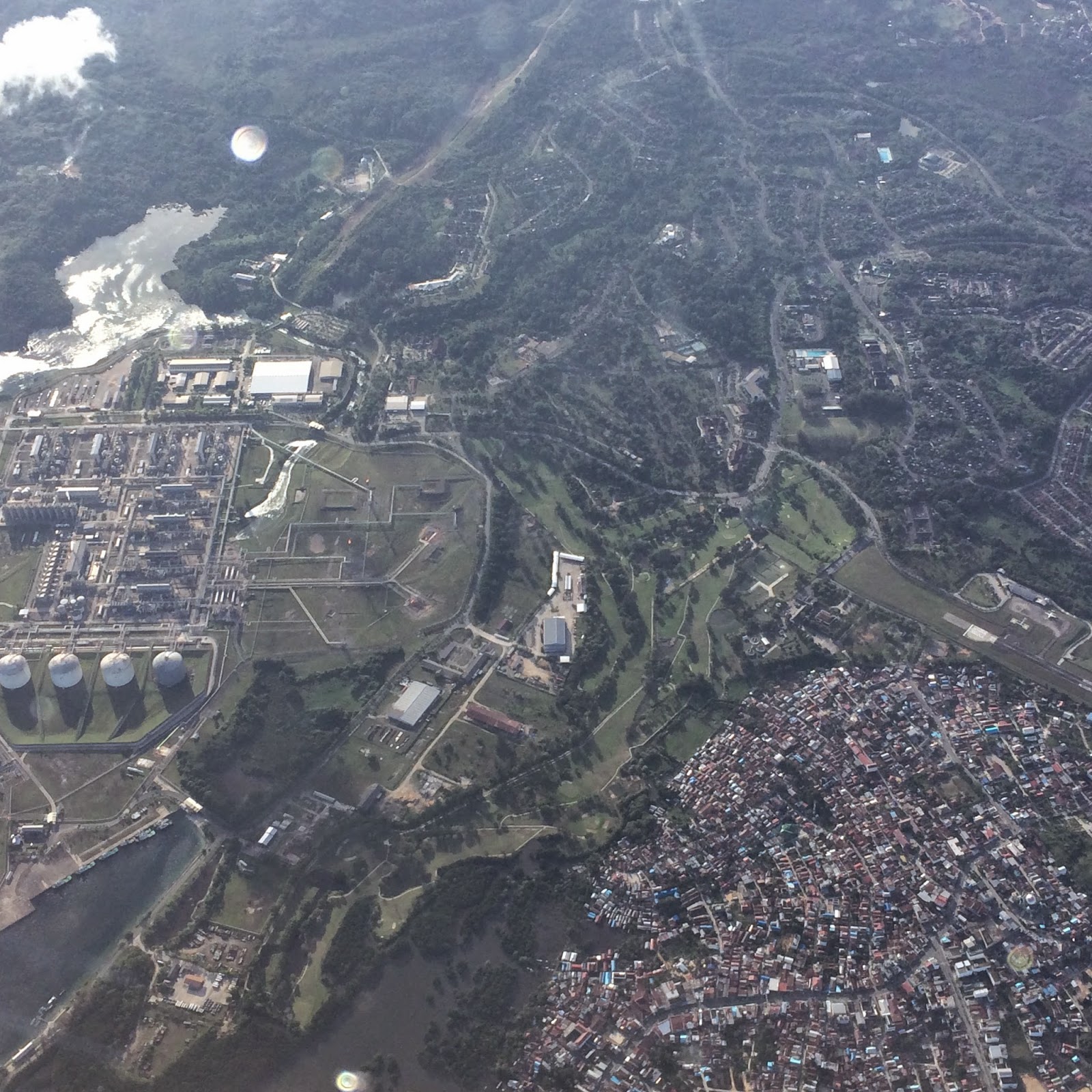
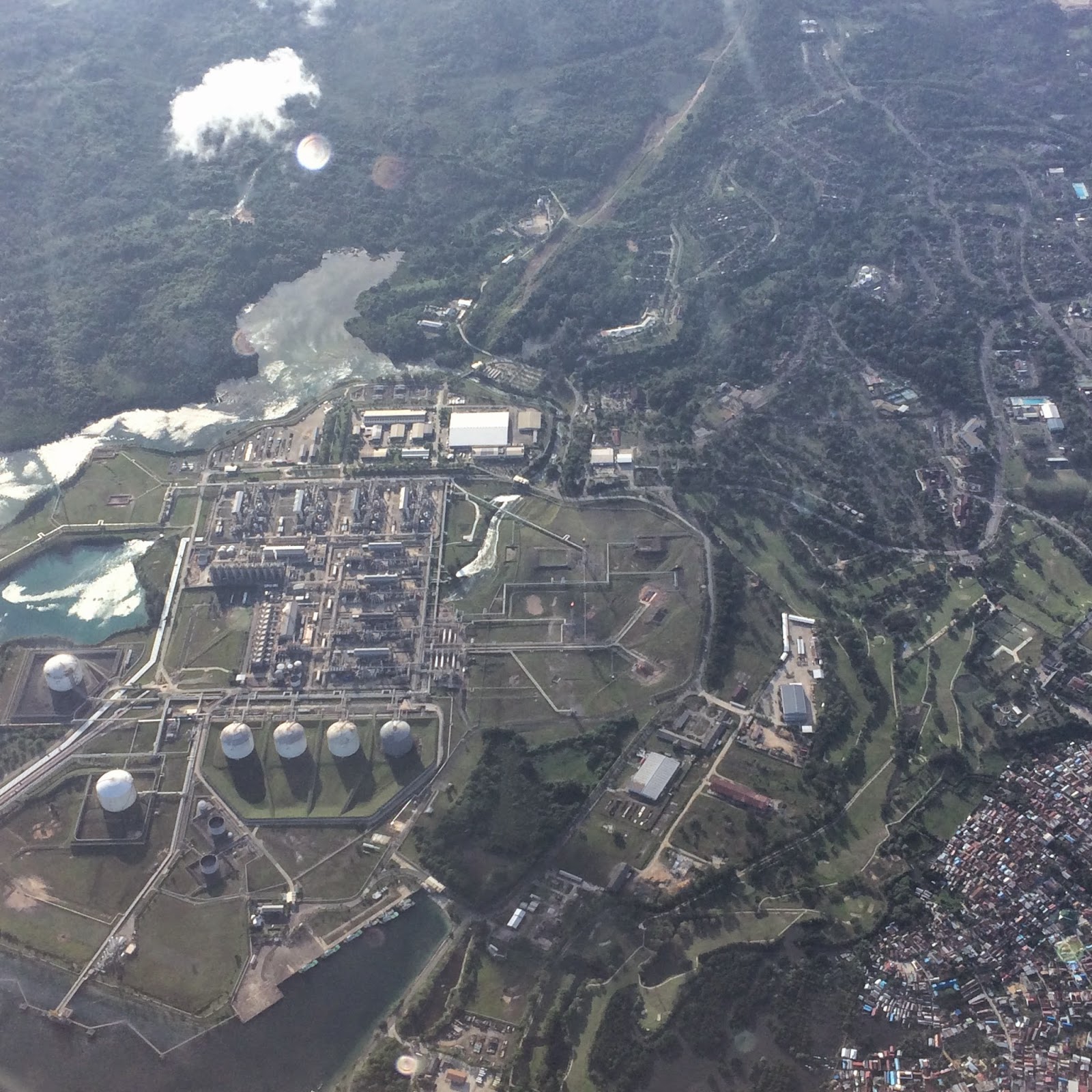
Aerial view of Samarinda industrial area
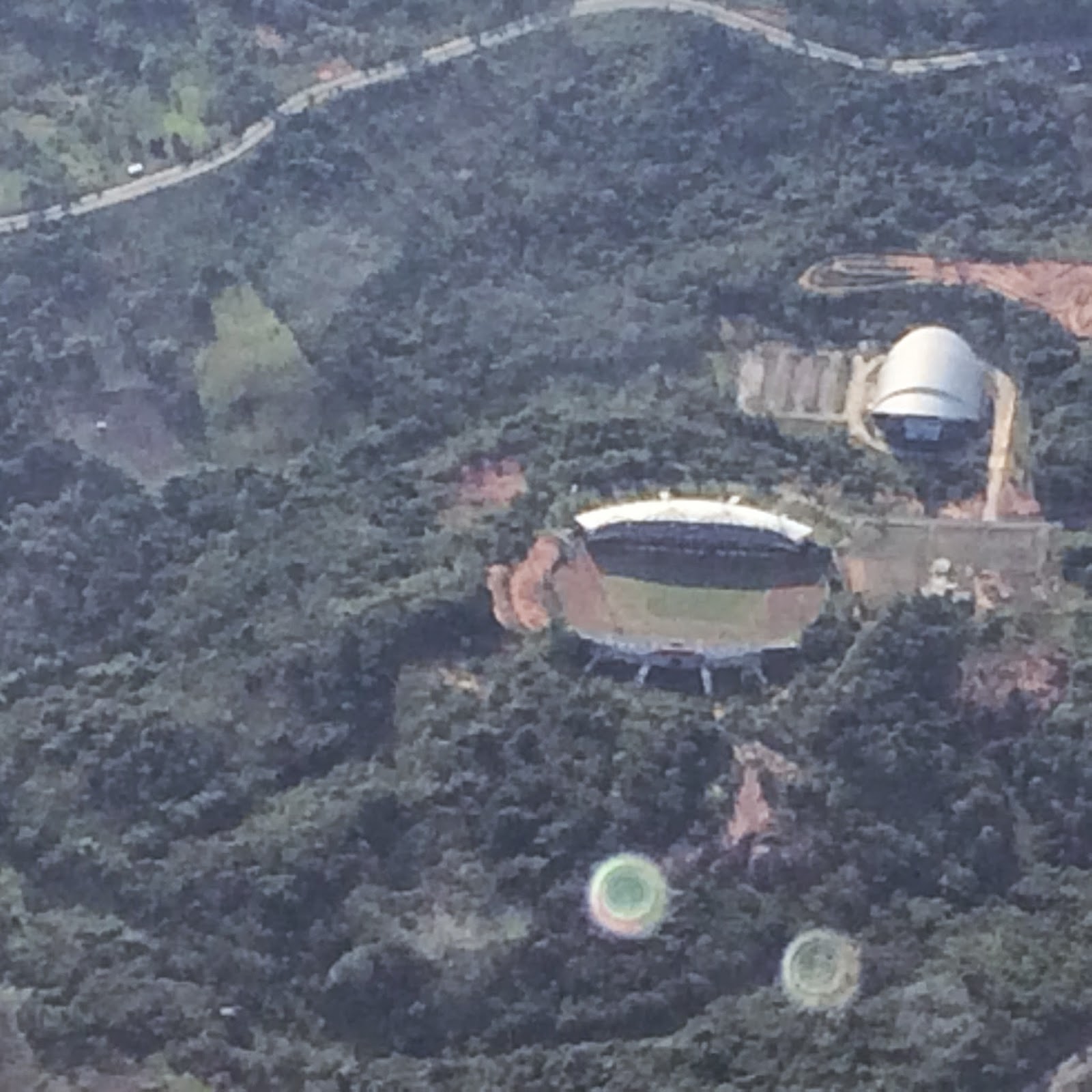
Aerial view of stadium at samarinda
The Mahakam river
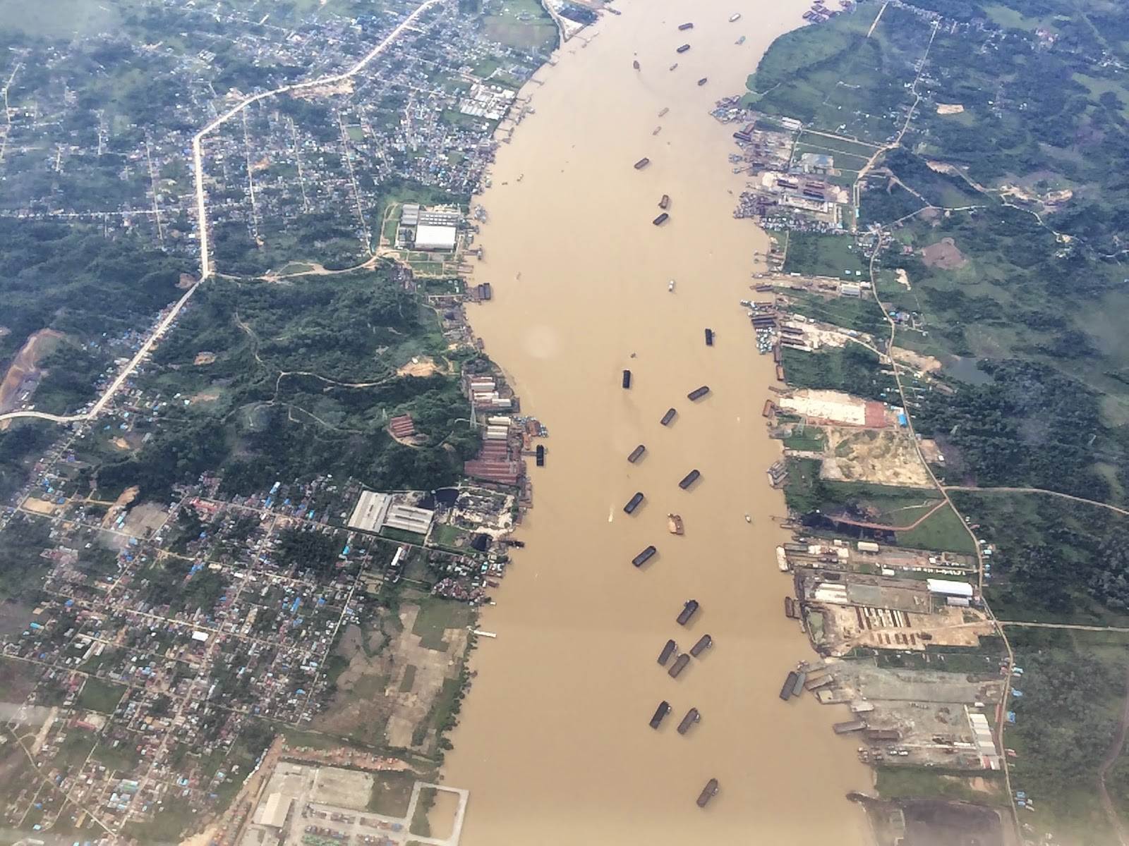
The Mahakam river at samarinda appears muddy due to the rains.


Yes the wings and blades have obscured a major view of the mahakam river through a large landscape. The beautiful curves of the river on this island is so far the best river view i have seen from sky.
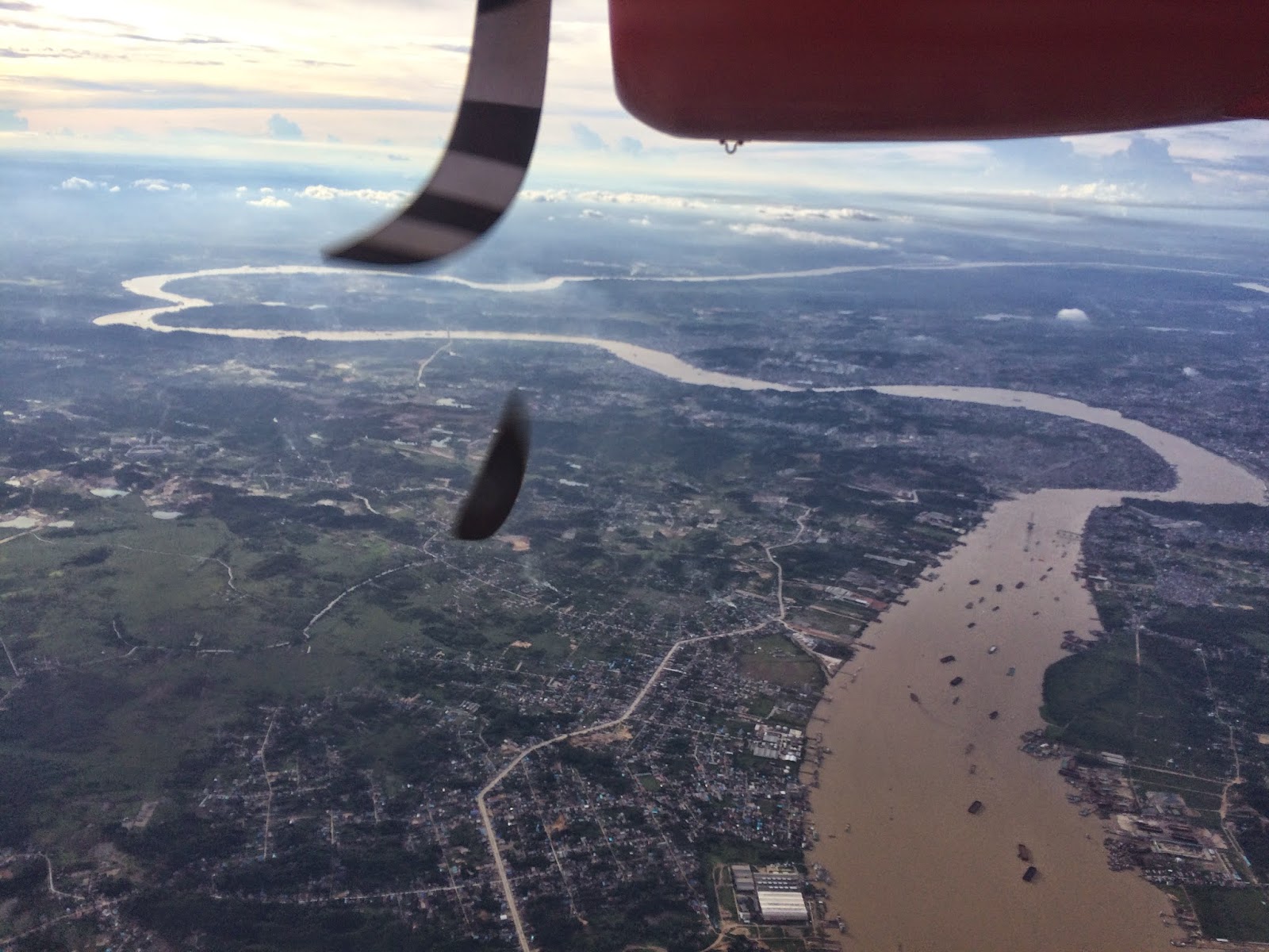
Another attempt to get shot of the curves of samarinda. The flight was faster. I should have gone for video and edited. These places will not remain the same in the future. The Borneo rainforests are occupied by people faster than ever. Lot of trees are being cut everyday, forest burnt for construction purpose.
The flight landed at Balikpapan International airport and so does this post.
cheers
vidyasagar

I like Indonesia very much personally…Truly Inspiring blog and thanks for sharing this.
LikeLiked by 1 person
Thanks for the comment Shameem.
LikeLike